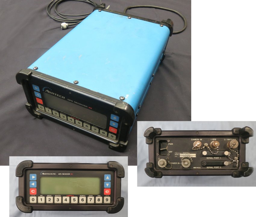
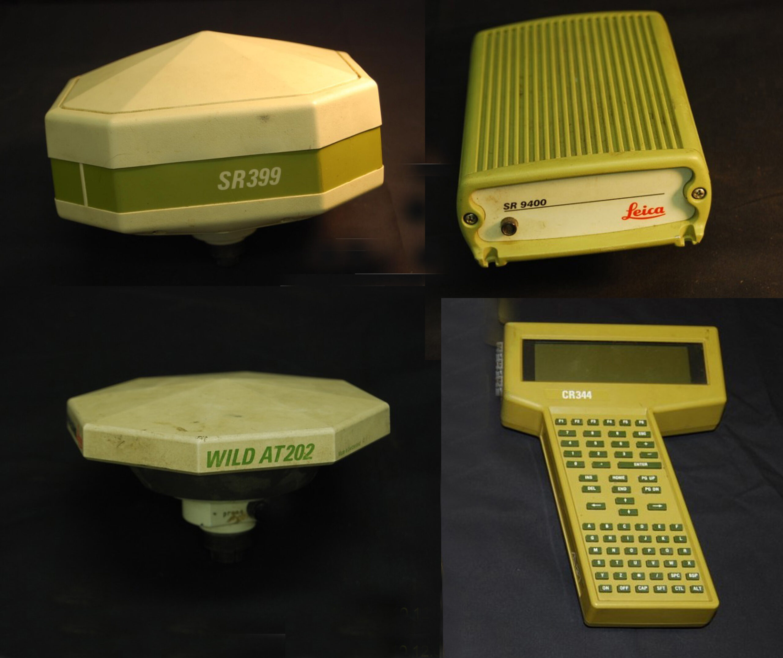
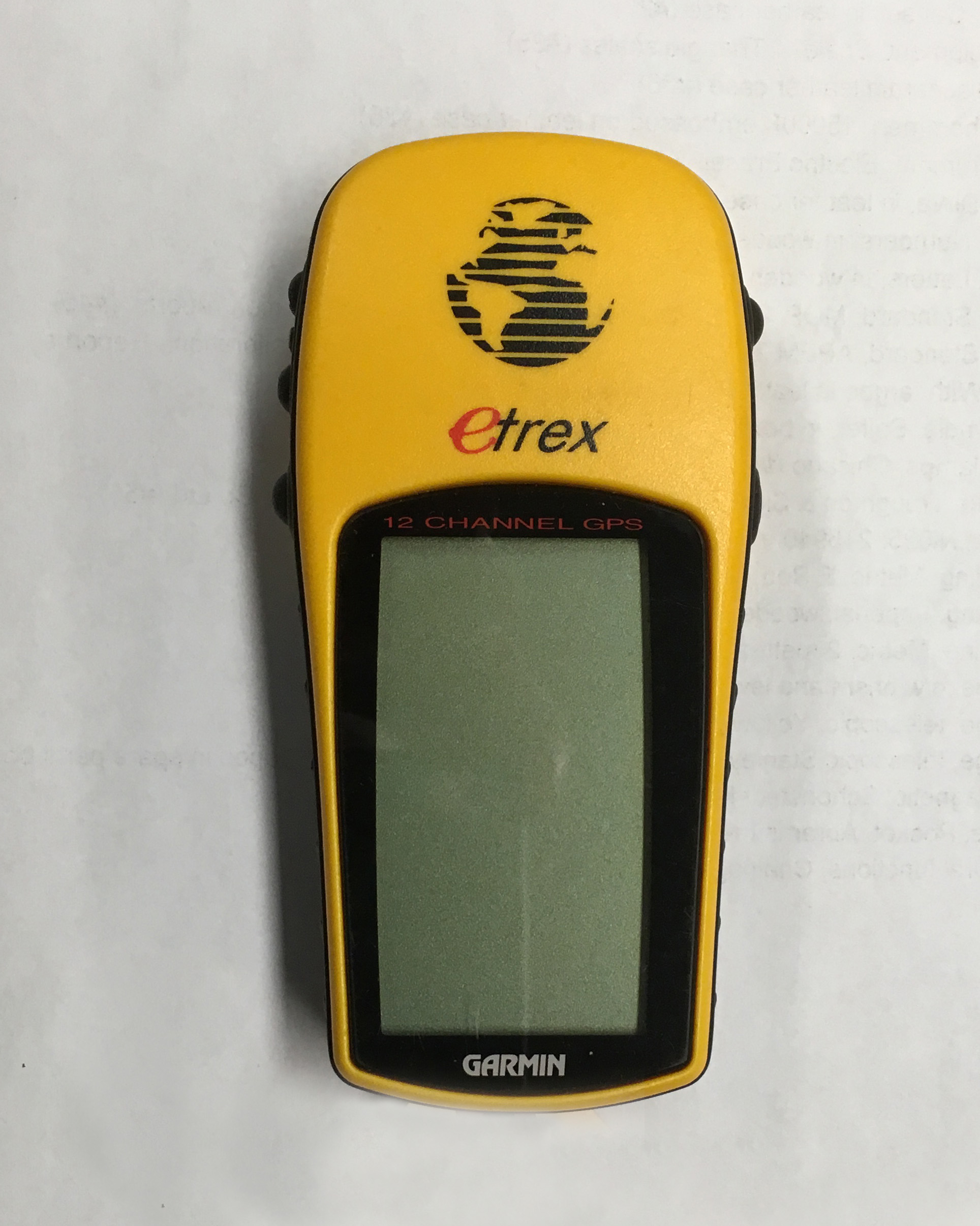
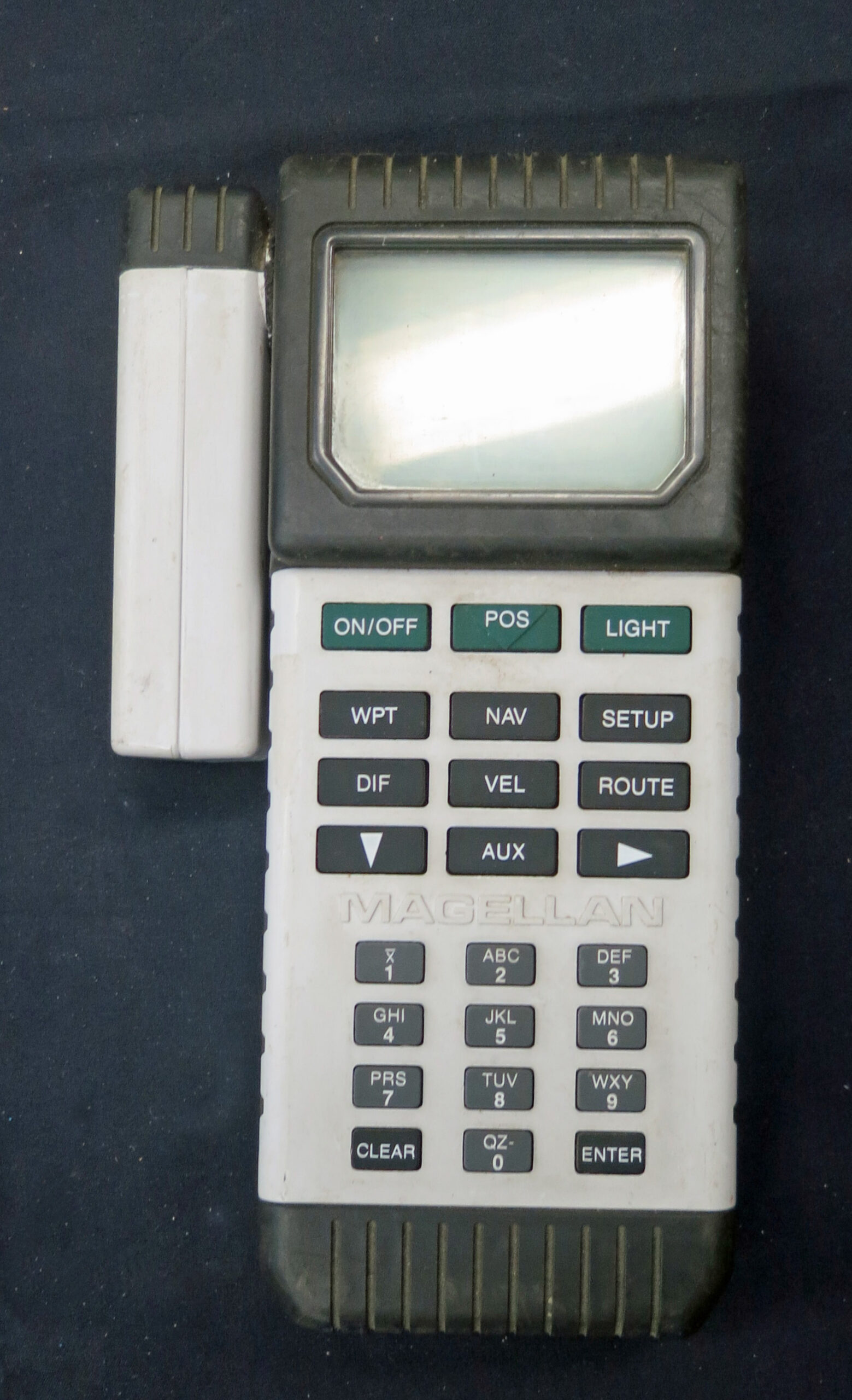
One would not get much of an argument if they stated that global navigation and positioning by satellite was the most significant development in history affecting navigation and surveying. However, for surveying it was more than a change in technology. It resulted in a transition from determining position in relationship to nearby objects to determining position in relationship to worldwide spatial reference systems facilitating hundreds of applications.

The first satellite navigation system was the US Navy Navigation Satellite System (commonly known as Transit). It was available for civilian use by 1967. Other systems include the Russian GLONASS system, which was formally declared operational in 1993, European Union’s Galileo, China’s BDS, India’s NAVIC and Japan’s QZSS. Transit operated for 28 years until 1996, when it was officially replaced by the current Global Positioning System (GPS). GPS was available in the early 1980s, but with a limited number of satellites. GPS is currently maintained and operated by the United States Space Force and is the most widely used of the several other global navigation and positioning satellite systems.