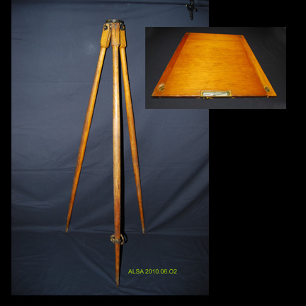
The plane table and alidade have been used for centuries for mapping topographical features.
Plane table mapping is done in the field by graphical methods. A drawing sheet is attached to the surface of the plane table board which is levelled and placed over a control point. Magnetic north is can be drawn on the sheet using a trough compass (a compass needle contained in a long, narrow rectangular box). Once the compass needle is aligned to magnetic north a line representing magnetic north can be drawn on the sheet by tracing along the side of the box.
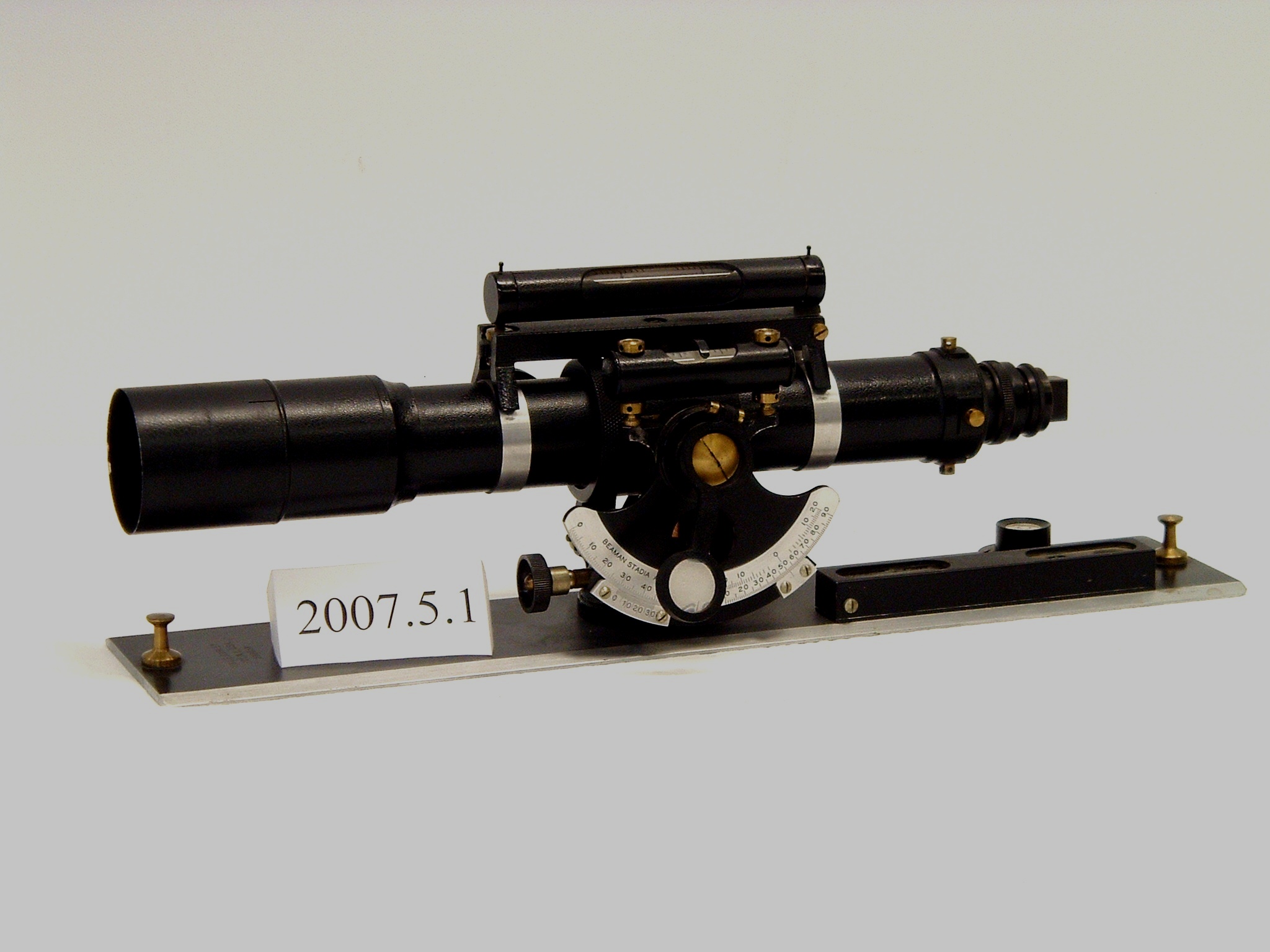
Objects to be mapped are sighted on by an alidade and lines are drawn on the drawing sheet in the direction of each object. Distances to the objects can be measured by a chain or by stadia.
By using more than one control point, locations of objects can be determined by intersection. The plane table is moved to another control point and orientated by using the alidade to backsight on the previous control point. Then objects to be mapped are sighted on by an alidade and lines are drawn on the drawing sheet in the direction of each object. The intersection of the line drawn at the first control point to the object, and the line drawn at the second control point to the same object will mark its position.
Plane Table
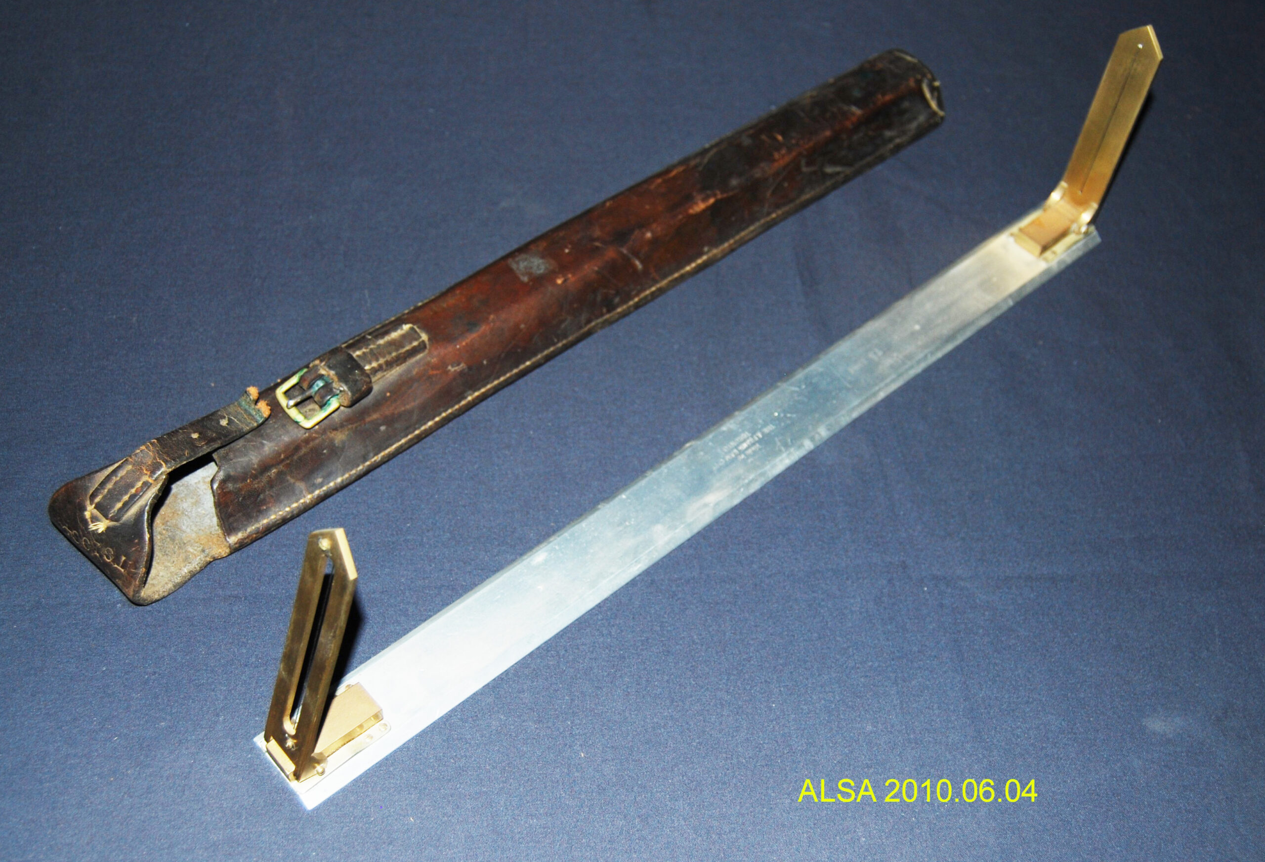
Alidade, Open-Sight
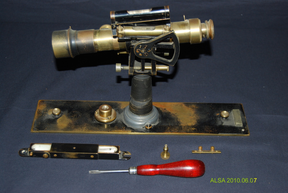
Alidade, Bausch & Lomb
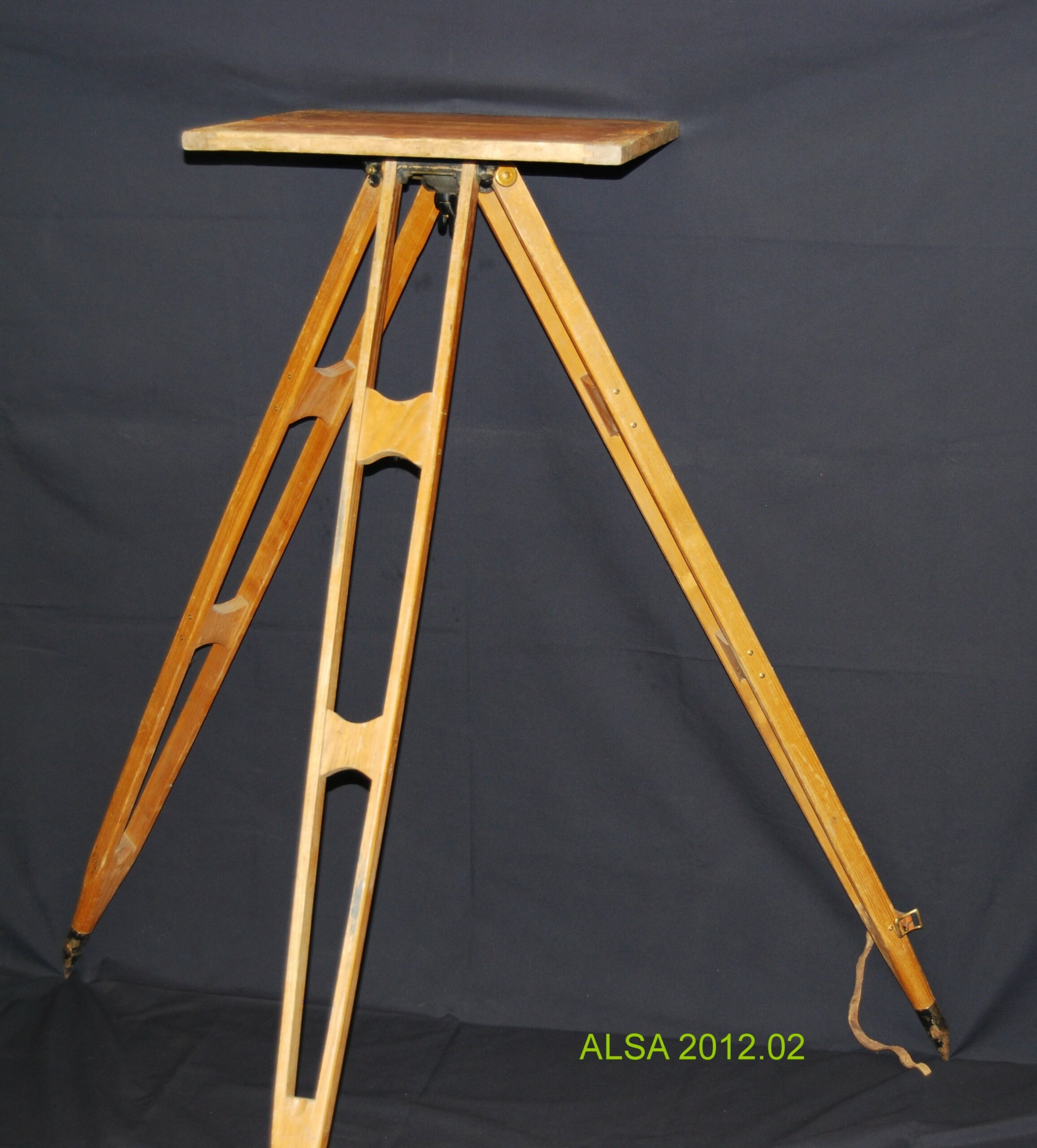
Plane Table
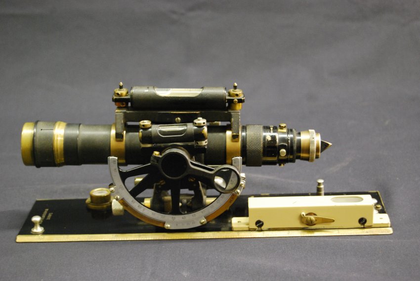
Alidade, K&E
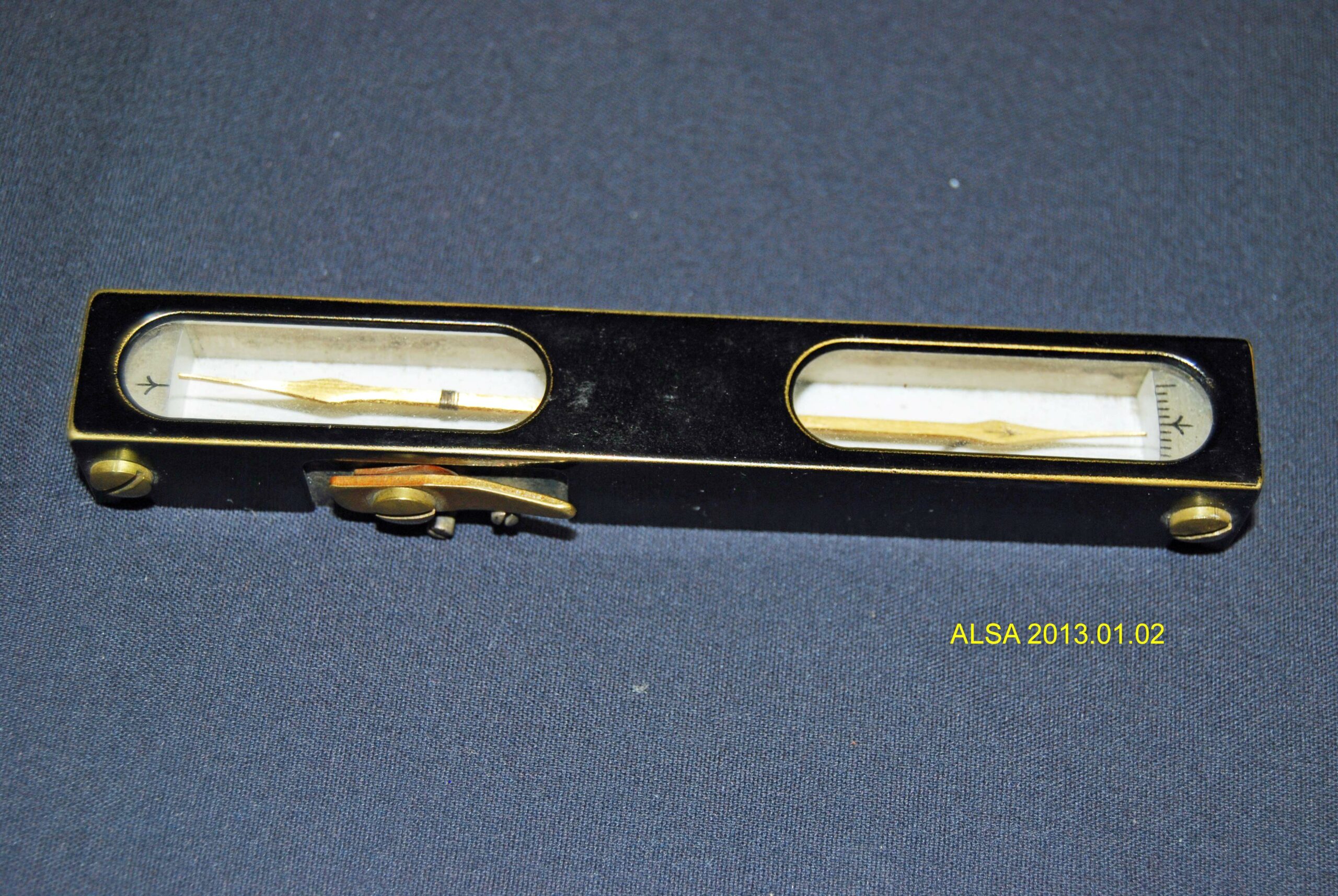
Compass, Trough