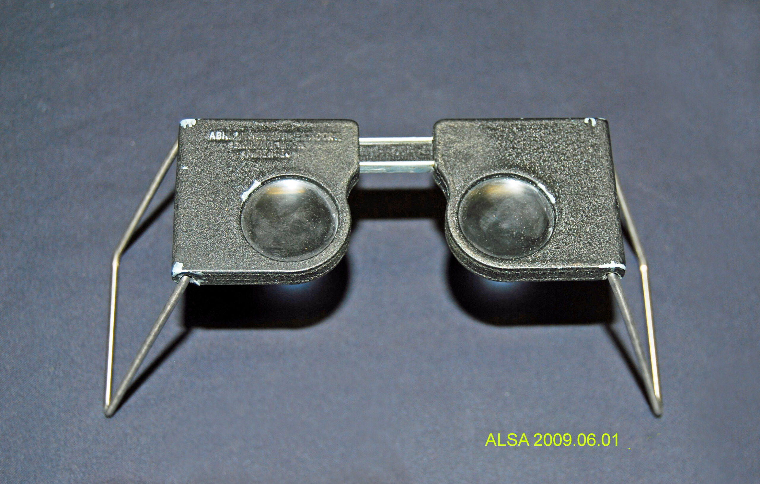
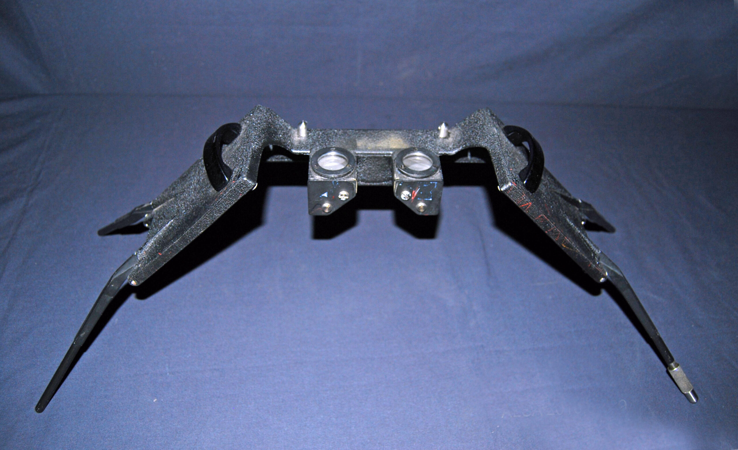
A stereoscope is an optical device used to view two, side-by-side photographs as a single, three-dimensional image. Images of the same scene taken from two positions offset from each other are transmitted to the brain which merges the two images into one, bringing the viewer into a realistic 3-D portrayal of the scene. This functionality is called stereovision, or, as it is sometimes called, binocular vision. With the advent of aerial photography land surveyors, foresters and others could view topography in three dimensions applying the same concept. All that was required was a simple stereoscope and a pair of aerial photographs each taken from difference positions.
Visit article Have you Ever Looked Through a View-Master? – Stereoscopes for additional information.
The Society has both the desk type and the pocket type of stereoscope.


