Category Archives: Evolution of Land Survey Technology
These articles trace land survey measurement technology from the time of early mapping in Western Canada to the relatively recent application of GPS technology. They depict the greatest evolution in land surveying technology in history – the period from about 1960 to the early 2000s. This period witnessed the transformation in measurement technology from transit and chain to GPS, and in survey computation from logarithms to the sophisticated programs and computers of the early 21st Century. They were originally published from 2021 to 2023 in ALS News, a quarterly publication of the Alberta Land Surveyors Association.
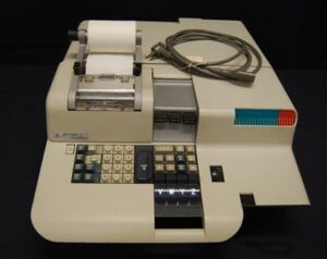
31. Every Surveyor’s Office Could Have a Computer – Desktop Computing
The first commercially available desktop computer was the Programma 101, released in 1965. It was...
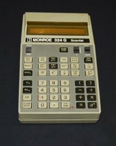
32. Finally, Computers could be taken to the Field
In the early 1970s, “handheld” or “pocket” calculators and computers were introduced. They were small...
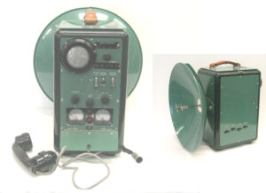
33. “The Skill of Chaining Would Be Lost” – The Tellurometer
The introduction of electronic distance measuring (EDM) in the late 1950s was the start of...
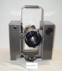
34. Measuring by Speed of Light – The Geodimeter
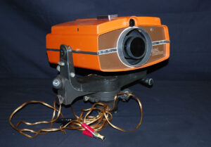
The Geodimeter applied the speed of light to measure distances.
35. The Competition Heats Up – More EDMs
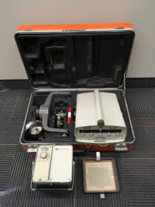
Later EDMs were smaller, had lighter batteries and were designed so they could be mounted...
36. Measurement Technology Progresses – Total Stations
One of the first total stations was AGA Geodimeter’s Model 700 which was introduced in...
37. More than a Technological Change – GPS
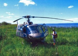
One would not get much of an argument if they stated that global navigation and...
