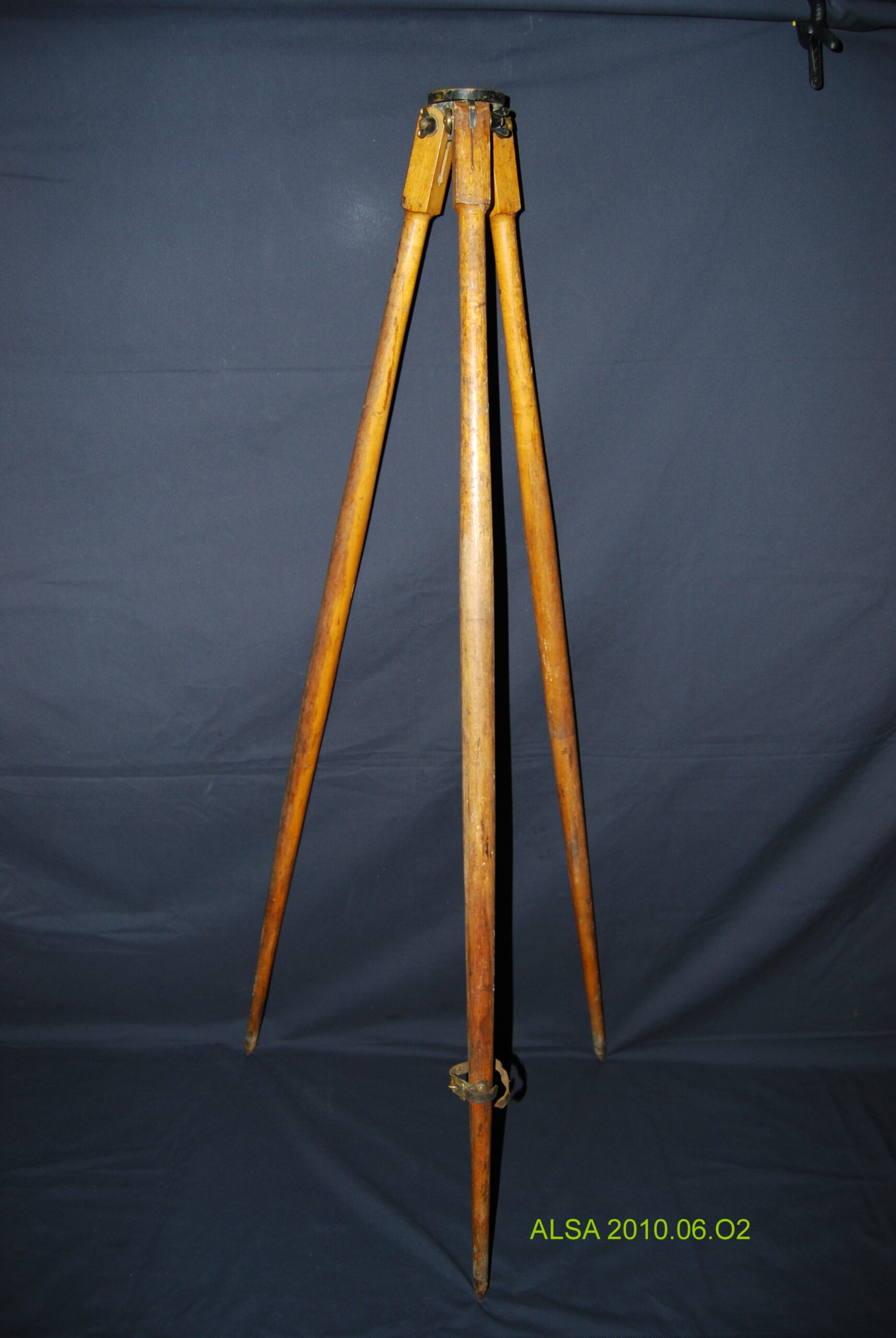
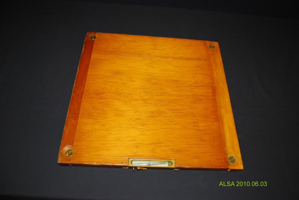
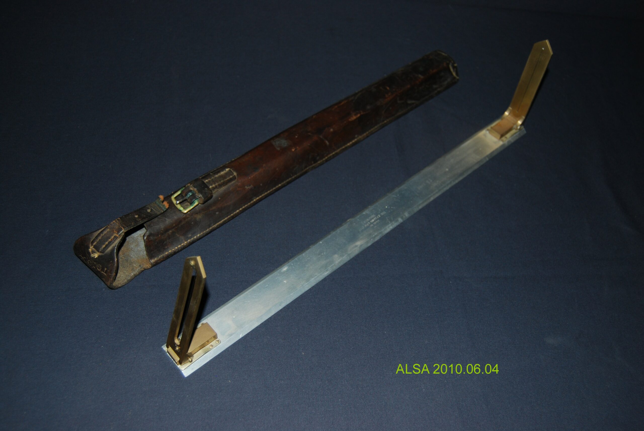
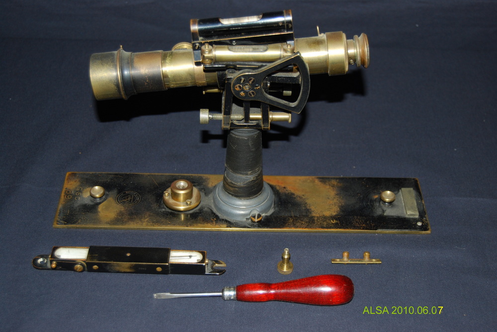
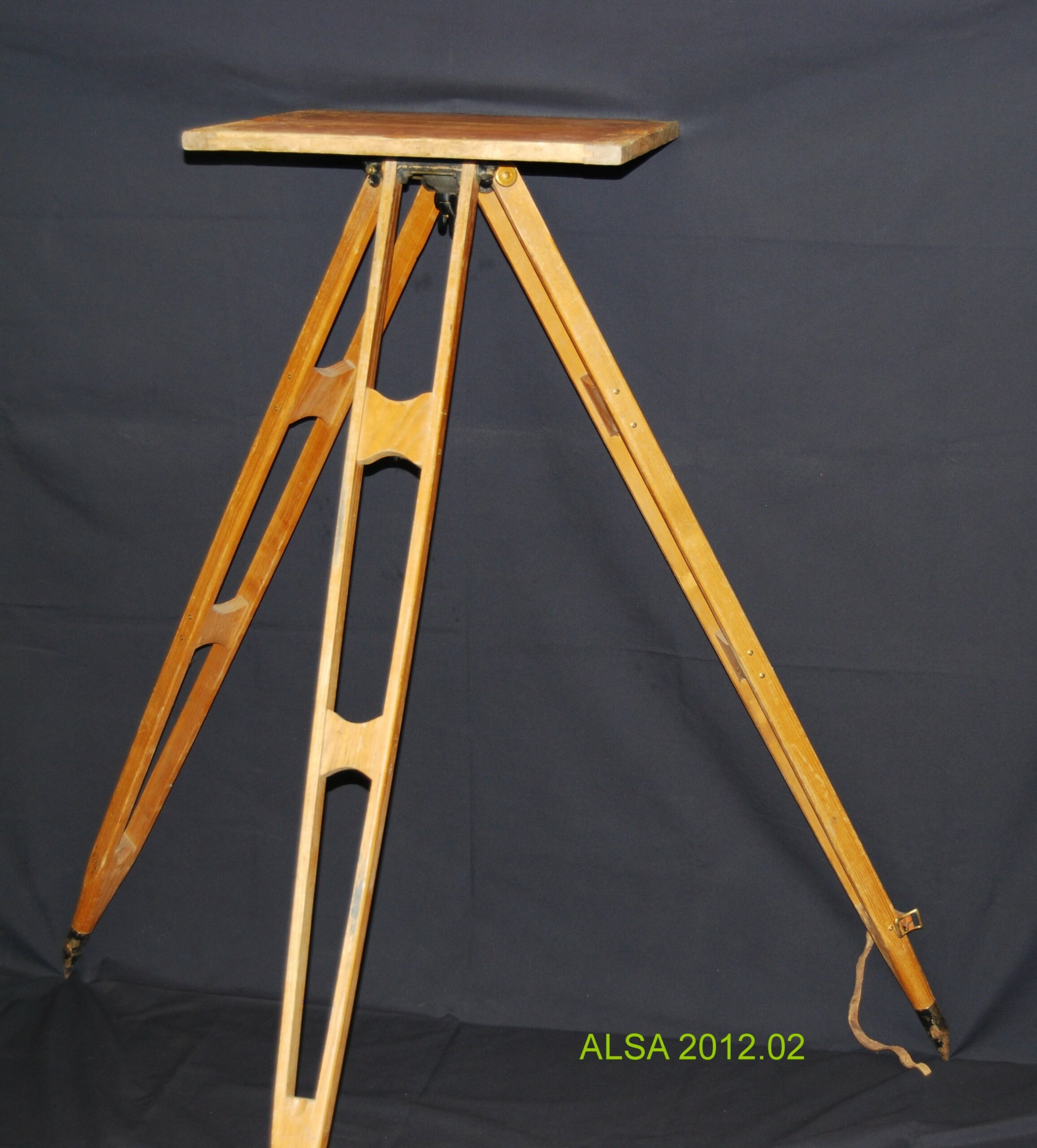
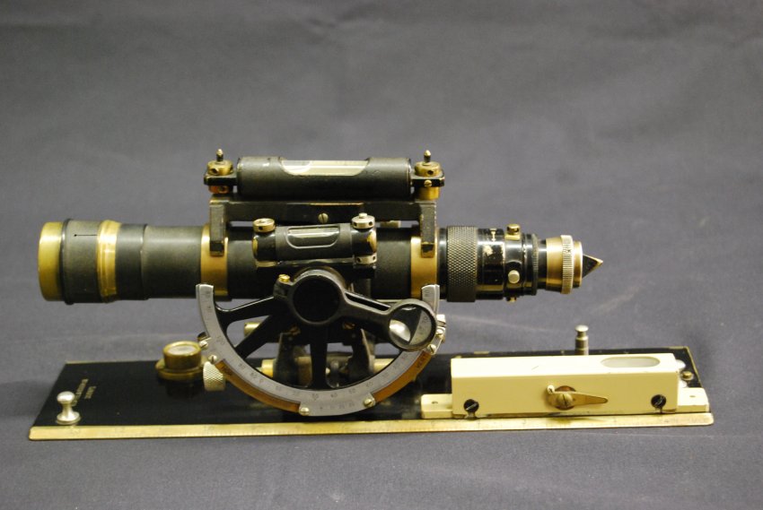
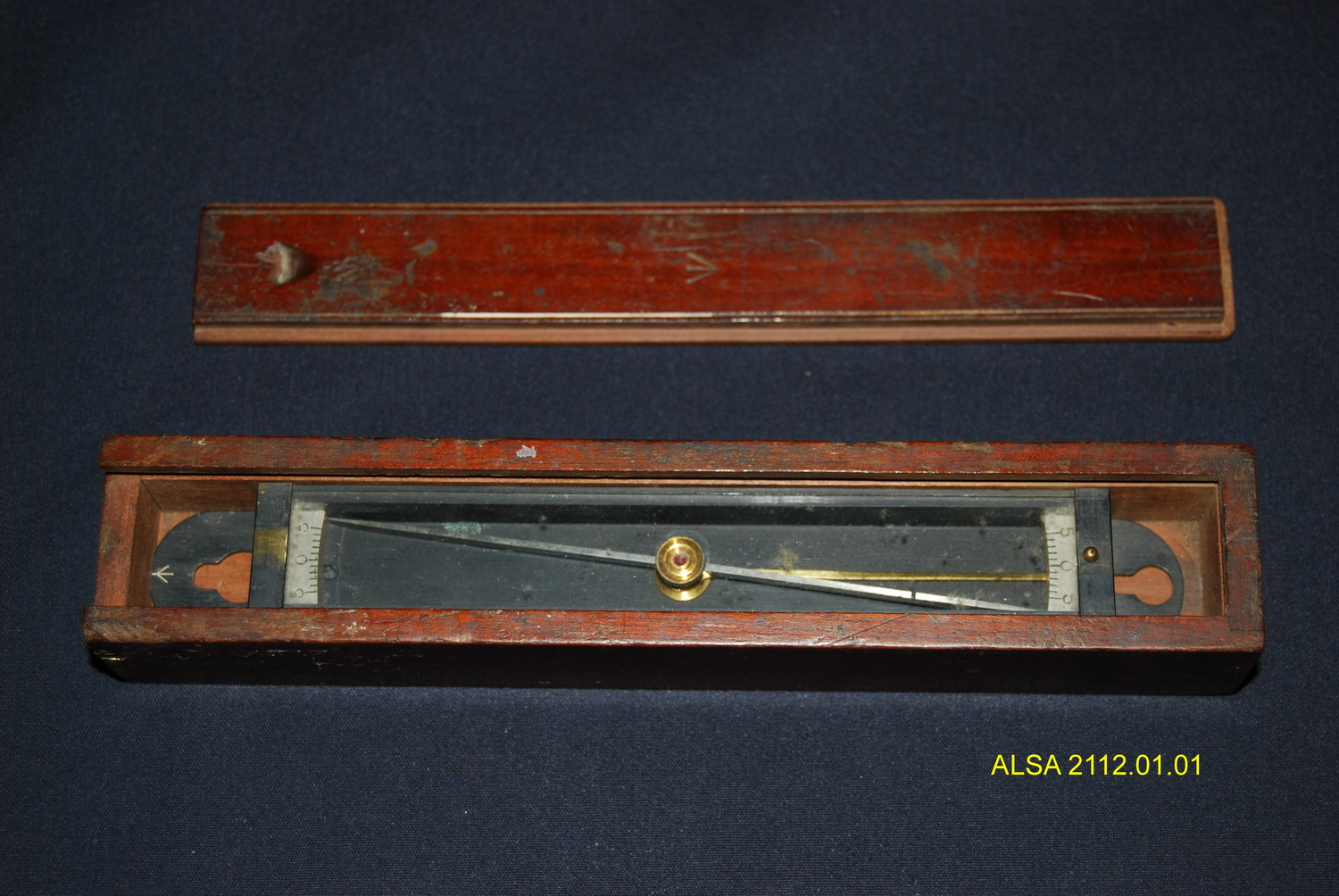
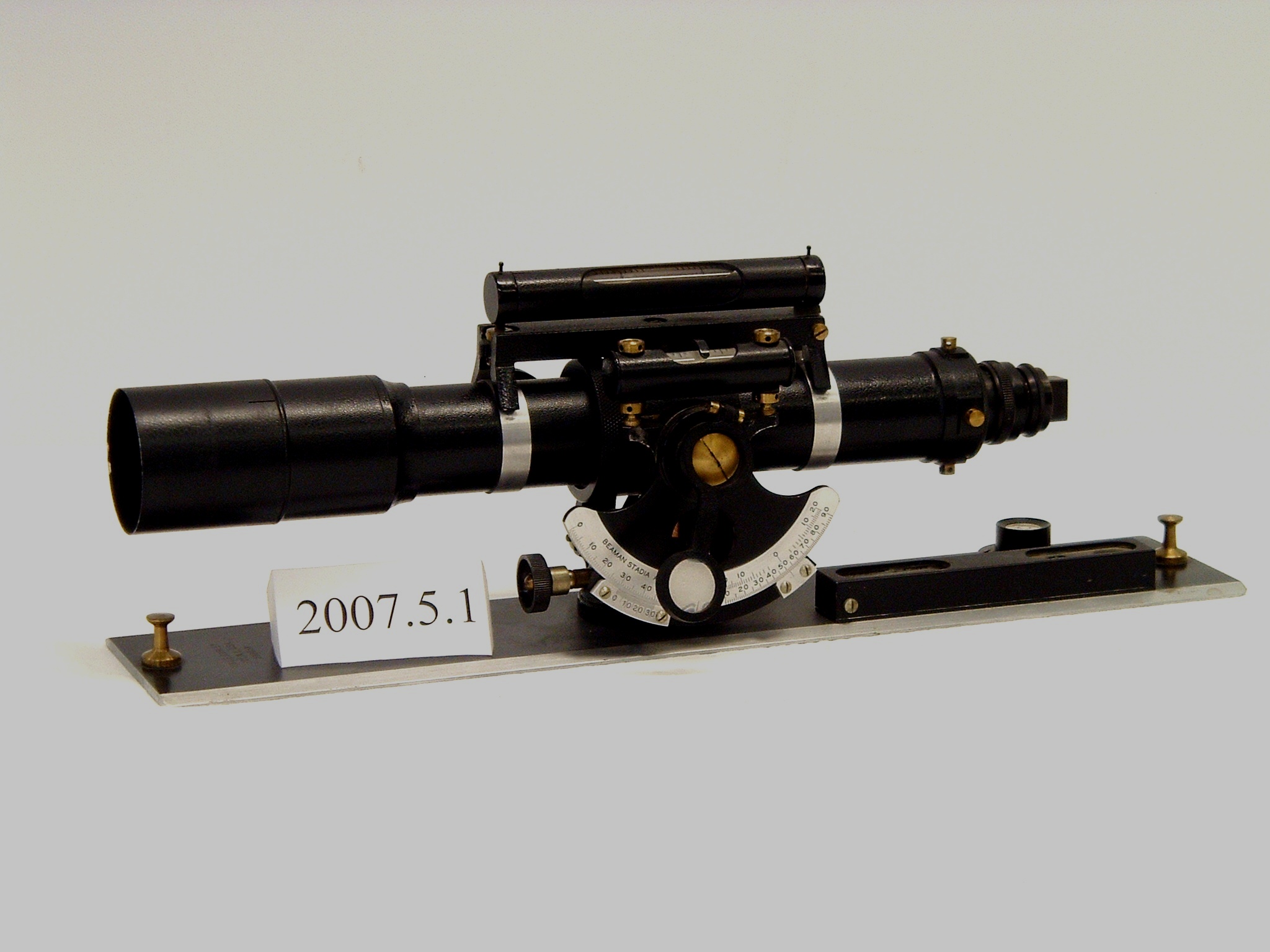
The plane table and alidade has been used for mapping topographical features for centuries. Don Thomson in Volume 1 of Men and Meridians writes that the first stage of the development of the plane table occurred in Paris in 1551. He recounts a story about Samuel Holland, who became Surveyor General of Canada, instructing Captain Cook in its use. Captain Cook had watched Holland in 1758 mapping Fort Louisbourg the day after its surrender. Holland wrote that Captain Cook had “expressed an ardent desire to be instructed in the use of the plane table (the instrument I was using).”
Plane table mapping is done in the field by graphical methods. A drawing sheet is attached to the surface of the plane table board which is levelled and placed over a control point. Magnetic north can be drawn on the sheet using a trough compass. Objects to be mapped are sighted on by the alidade and lines are drawn on the drawing sheet in the direction of each object. Distances to the objects can be measured by a chain or by stadia. Depending on the area to mapped, the plane table may be moved to another control point and orientated by using the alidade to backsight on the previous control point. By using more than one control point, locations of objects can also be determined by intersection – the intersection of the line drawn at the first control point to the object, and the line drawn at the second control point to the same object will mark its position.
